
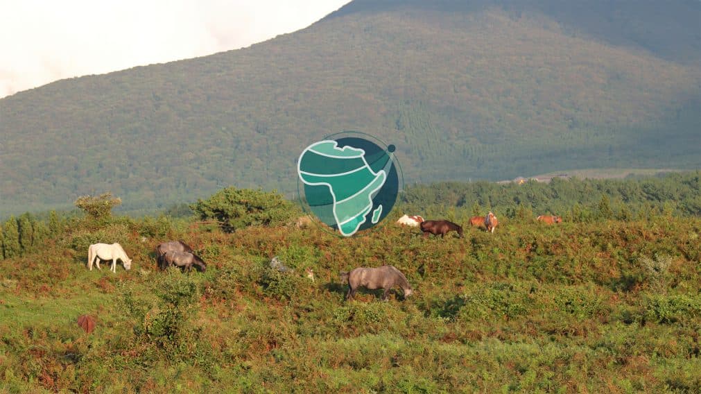
RAMONA (Rangeland Monitoring for Africa using Earth Observation) is a continental-scale rangeland monitoring system for Africa, developed under the European Space Agency's EO AFRICA framework. It delivers a suite of high-resolution products describing where African rangelands are, what ecosystem type they are, how productive they are, and how their productivity varies through the growing season. Products are derived from the Copernicus Sentinel constellation using open-source algorithms, and are calibrated and validated against in-situ measurements from Senegal, Sudan, Kenya and South Africa.
RAMONA was executed by a science-industry consortium led by Aarhus University (Denmark), with Lund University (Sweden), DHI GRAS (Denmark) and GeoVille (Austria), under ESA Contract 4000136180/21/I-NB. The demonstrator was completed in July 2026.
Product overviewAccess to the data
| Product | Resolution | Frequency | Coverage | |
|---|---|---|---|---|
| Rangeland Extent | 10 m | Annual | Continental Africa, 2022 | |
| Rangeland Type | 10 m | Annual | Continental Africa, 2022 | |
| Herbaceous Rangeland Biomass (HRB) | 10 m | Monthly | Continental Africa, Aug 2021 – Jan 2023 | |
| HRB country-level mosaics | 10 m | Monthly | Africa, on demand via APEx | |
| Herbaceous Biomass Anomalies | 300 m | Seasonal | Continental Africa, 2022 | |
| Rangeland Phenology parameters | 10 m | Annual | Continental Africa, 2022 | |
The RAMONA product suite is served from the ESA Payload Data Ground Segment Product Results Repository (PRR) as STAC-compliant collections in Cloud-Optimised GeoTIFF format.
A general description of the PRR archive is available at https://eoresults.esa.int/prr_faq.html.
On-demand mosaicking
For user-defined country-level Herbaceous Rangeland Biomass mosaics, RAMONA provides an on-demand processing utility through the ESA APEx algorithm catalogue: https://algorithm-catalogue.apex.esa.int/apps/RAMONA-herbaceous_rangeland_biomass-country-mosaick.
A note on the rangeland definition
RAMONA defines rangeland inclusively: all vegetated land that is not cropland or closed-canopy forest. This definition is based on land cover rather than land use, because land-use categories (such as "pastoral land" or "productive rangeland") reflect management and human activity that cannot be measured directly from satellite data. The RAMONA definition is the most inclusive of those currently in operational use, which means users with narrower interests — for example, in productive pastoral land only — can apply additional masks to restrict the RAMONA products to their area of interest.
Limitations
Users should be aware of three limitations of the demonstrator products.
- Temporal scope. Products cover the period August 2021 to January 2023. Multi-year climatologies and trend analyses are not directly available from RAMONA alone; the Herbaceous Biomass Anomalies product uses the Copernicus Dry Matter Productivity (DMP) product as its baseline. Extension of the RAMONA archive to multi-year coverage is a priority for future work.
- Geographic scope. Continental Africa. Some areas of high productivity in central Africa and low productivity in the Sahara were not processed in the demonstrator; these were assumed to be closed-canopy forest and unvegetated desert and are shown as gaps in the products.
- Third-party inputs. The Rangeland Extent and Rangeland Type products rely on ESA WorldCover (2021) for cropland and built-up masking, and on the Meta/WRI global canopy height map (2017–2020) for closed-forest exclusion and structural characterisation. These inputs are static and will not reflect recent land-cover or canopy change until they are updated or replaced.
Documentation
- Algorithm Theoretical Basis Document and Validation Report (D6/D11).

Keep exploring

Improving global monitoring of grasslands, grazing lands and livestock systems through open, regularly updated geospatial datasets.
Learn more